
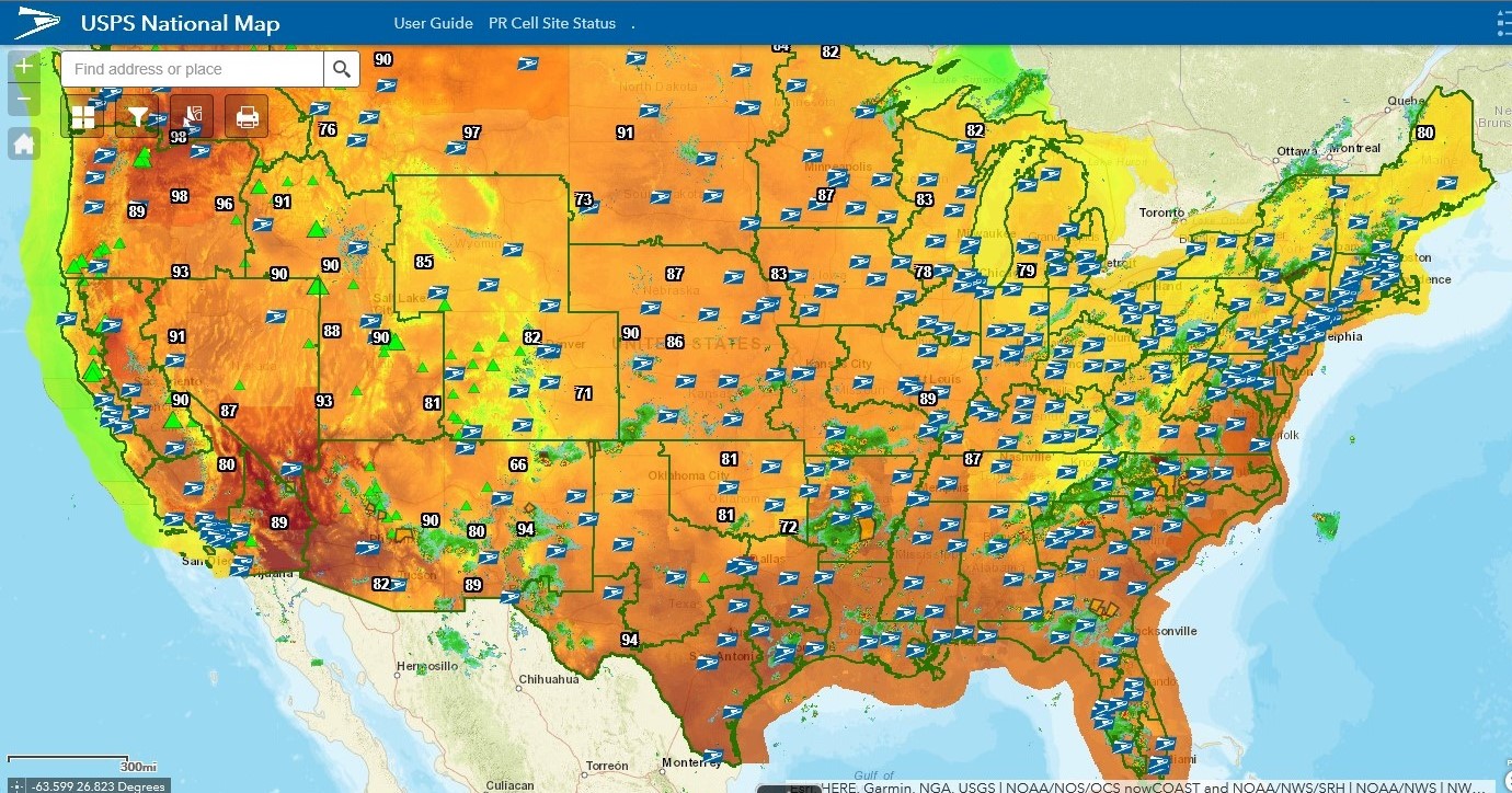
 The USPS National Map is an interactive tool that allows employees to track the operational status of postal facilities.
The online map provides a visual representation of the on-ground conditions in a given area and allows managers and others to make informed operational decisions.
The map can be especially useful for sites affected by natural disasters and extreme weather, such as hurricane season, which is underway through Friday, Nov. 30.
USPS National Map User Guide
Source: USPS